These pictures are of the first set of falls, known as the "Small Falls."


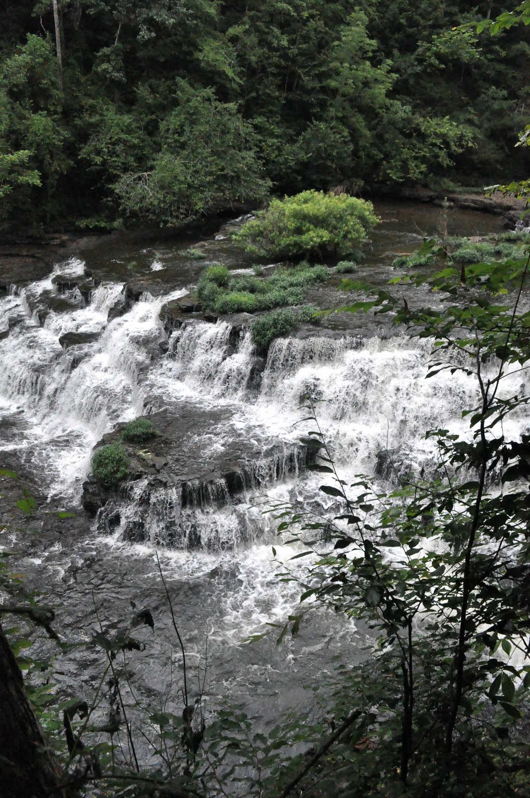
 If you look closely, you can see a white bird in the water just to the right of the big bush that is growing in the middle of the river.
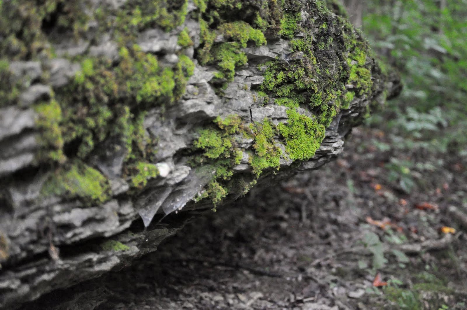 Growth on a rock along the trail.
If you look closely, you can see a white bird in the water just to the right of the big bush that is growing in the middle of the river.Growth on a rock along the trail.
Growth on a rock along the trail.
If you look closely, you can see a white bird in the water just to the right of the big bush that is growing in the middle of the river.Growth on a rock along the trail.


 We first met "Bizzie" on Twitter. We became friends, and somewhere along the way, learned enough about each other to become a sort of extended family. She lives in a town we refer to as Cosgroveville, named so for her favorite actor, Danny Cosgrove, an actor on the long-running daytime soap opera, Guiding Light. Located just about in the middle of Tennessee, it has something like 10 hotels and 500 restaurants, but the "mall" has one store: JC Penneys. It's a big town with a little town feel, and we were ready to do some exploring. We met Bizzie at Christy's restaurant, which was kind of like a diner with a big restaurant feel. The burgers were good and the company was great.
 After lunch we went to see a famous local landmark, a giant pink elephant on waterskis that wears a yellow-polka-dotted bikini and shades. We goofed around for a little bit there, then headed over to an activity park that has a putt-putt golf course and played eighteen holes of varying degrees of embarassment, and we all showed why putt-putt golf isn't a professional sport.
  They also had a thing called "Water Wars" that involved putting water balloons in a giant sling shot and flinging said water balloons at your opponent. We passed on this activity. We also passed on paintball, as it is kind of messy and can be painful. But we did get on the go-carts, which I am horrible at and came in last, but managed to not crash despite Bizzie cutting me off in an "S" curve. After all this excitement, we sat on their deck with refreshments and talked until it was time to head back to the hotel. We agreed to meet for dinner in a couple of hours.
 We crossed the Mississippi driving down I-55, which meant we crossed on the Memphis-Arkansas Bridge, a historic bridge that is over sixty years old. It was built in 1949, and Memphians call it the "Old Bridge," to distinguish it from the Hernando de Soto Bridge. A cantilevered through truss bridge, it is 770 feet long and clears the river by 112 feet. And it has narrow lanes too, so if bridges are already kind of scary for you, bypassing this one might be a good idea. Especially when the roads are slick from rain.

 Those of you unfamiliar with the Food Network will have no idea why I was a little excited to eat here. The Neely's have their own show on the Food Network, and this BBQ is what kind of made them famous. If you walk into this restaurant without any of this knowledge, you will be educated soon after entering. Huge four-foot banners with the Neely's picture and the Food Network logo hang throughout the restaurant, and the walls are adorned with pictures of the Neelys with other Food Network stars.

 TEXARKANA!
 As stoked as we were to finally have made it out of Texas, we were rather disappointed to discover that Arkansas look a whole lot like East Texas. Trees. A whole lot of them. But we had set a mini-goal of Little Rock, where there was a nice mall and an Eddie Bauer store we wanted to visit.
 Stopping at the mall turned out to be a really good idea, because we were a bit road weary at that time, and we were able to really get up and stretch our legs. We also got to see a Chik-fil-a firecow!
 It certainly wasn't the only vehicle we passed multiple times on our trip, but it was one of the most interesting ones. In fact, spotting vehicles we passed more than once became a bit of a game, as did identifying license plates from different states. And of course, the classic cars making a cross-country trip!
 Things were pretty uneventful (code for tree-filled view) for much of the state. Until we were just West of the Arkansas/Tennessee border, when we ran into a thunderstorm. Now, being from Texas, we are accustomed to storms that appear out of nowhere, drop anywhere from three drops to three inches of rain and then disappear just as quickly, so we were not alarmed in the slightest by the appearance of rain and thunder. What scared the bejeebus out of us was how the natives reacted to the challenge of wet weather.
 Apparently, the "thing" to do in Western Tennessee is to pull over onto the shoulder and stop and wait until the rain has passed. Or, if you're in a hurry, then you don't pull over. You reduce your speed to no more than ten miles per hour and drive with your hazards on. I feel very confident in sharing with all of you that if you were to do either of these in Texas, you would get squashed like a bug on a windshield of a car going eighty. It's dangerous and stupid. And the rain really wasn't that bad. Sure, there were patches where the drops were pretty big and the rain was thick, but overall, not impossible to navigate.
 People who are not from Texas or have never been to Texas or have never attempted to drive across Texas have a hard time understanding just how big the Lone Star State actually is. So to help those of you who fall into this category, I've pulled some facts from the Texas State Almanac.
 You'll have to click on this picture to make it bigger, but these enterprising folks have a craft store next to their house. Right off the highway, which is great if you need to pick up a yard ornament or a porch swing on your way out of town.
 Now if lawn furniture or seasonal decorations aren't your style, or if you're running short on cash, you can always stop at Po-Man's Fireworks to pick up some entertainment and some boiled peanuts. They have high-quality products at the lowest prices, and if you don't believe them, you can check them out on the web. Gotta love those high-tech rednecks.
 We all know the three most important rules of real estate: location, location, location. One of these entrepreneurs paid attention in economics class. Where better to put a tattoo parlor than next to a liquor store!